


ancien sentier des bigues

flux99
User
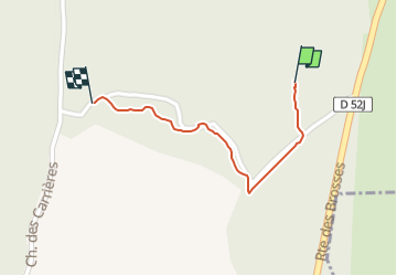

Length
540 m

Max alt
287 m

Uphill gradient
6 m
Km-Effort
623 m

Min alt
278 m

Downhill gradient
7 m
Boucle
No
Creation date :
2023-02-15 13:44:41.695
Updated on :
2023-02-15 13:56:49.448
11m
Difficulty : Easy

FREE GPS app for hiking
 SityTrail
IGN / Geographical institutes
SityTrail Plus
The world is yours!
About
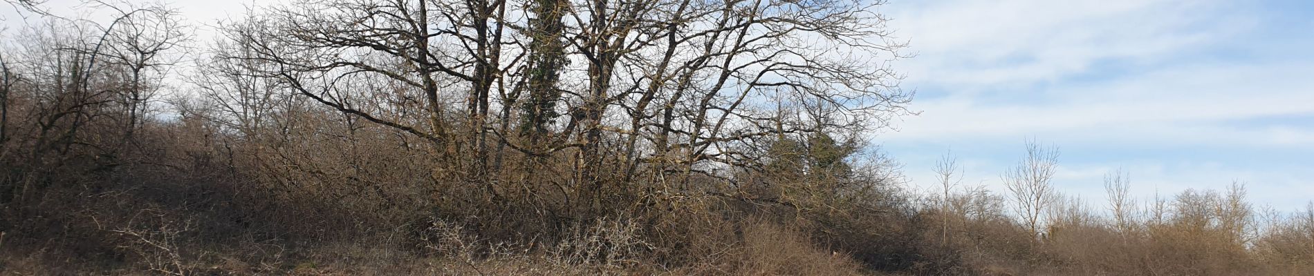
Trail Walking of 540 m to be discovered at Auvergne-Rhône-Alpes, Isère, Parmilieu. This trail is proposed by flux99.
Photos

Positioning
Country:
France
Region :
Auvergne-Rhône-Alpes
Department/Province :
Isère
Municipality :
Parmilieu
Location:
Unknown
Start:(Dec)
Start:(UTM)
682627 ; 5077092 (31T) N.
Comments