


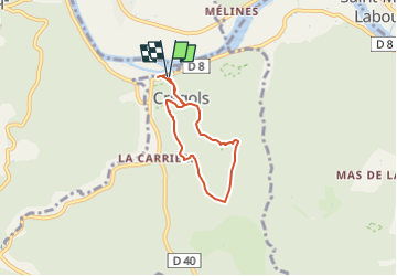

17.7 km | 24 km-effort


User


FREE GPS app for hiking
 SityTrail
IGN / Geographical institutes
SityTrail World
The world is yours!
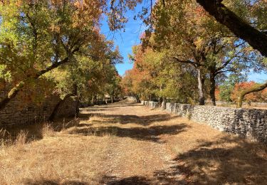
Trail Walking of 5 km to be discovered at Occitania, Lot, Crégols. This trail is proposed by Pierre44.
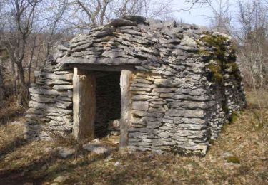
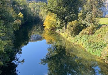
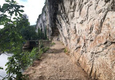
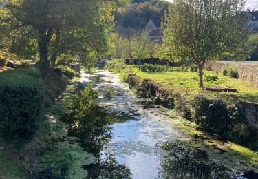
Cette balade vous fera découvrir de belles curiosités géologiques : une ancienne mine de phosphate sous vos pieds, l’impressionnante igue ou encore une résurgence.
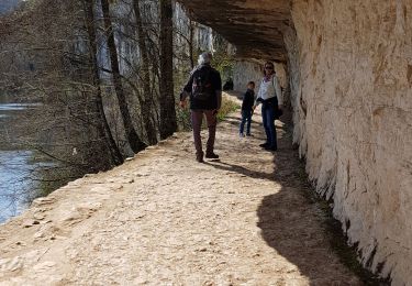
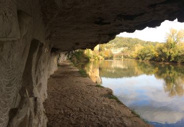
Avec ses nombreuses résurgences, le Lot est le 3ème spot mondial de plongée souterraine. Entre les résurgences du Ressel, de Saint-Sauveur, de Cabouy ou de Crégols, pour ne citer que les plus fréquentées, le choix est vaste. Les plongeurs du monde entier apprécient la clarté des eaux et la diversité des plongées possibles.
- Difficultés particulières : Montée très difficile entre le cimetière et la phosphatière - famille et personnes avec difficultés : accès facile par la variante longue. Attention danger avec des enfants à l'igue car le tour n'est pas sécurisée.

Walking
Walking
Walking

sport
Walking
Walking
Walking
Walking
Hybrid bike