


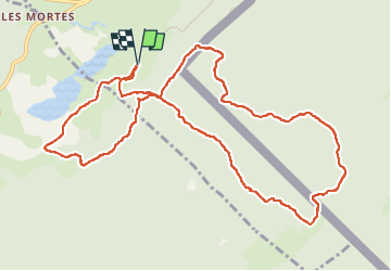

15 km | 21 km-effort


User


FREE GPS app for hiking
 SityTrail
IGN / Geographical institutes
SityTrail World
The world is yours!
Trail Snowshoes of 12.6 km to be discovered at Bourgogne-Franche-Comté, Doubs, Chapelle-des-Bois. This trail is proposed by danielf.
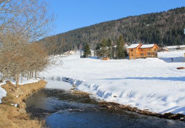
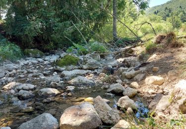
Randonnée à la découverte du Lac de Bellefontaine, la Roche Bernard et le Chalet Gaillard.
Départ du refuge "Chez l'Aimé" (places de parking limitées).
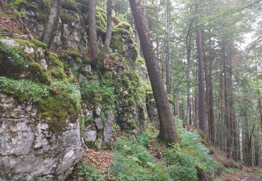
Certaines portions en "hors-piste" peuvent être difficiles.
Pass balade nécessaire.
Cet itinéraire vous est offert gracieusement par info randonnée - https://www.autre-chemin.be

Walking

Walking

Walking

Walking

Walking

Walking
On foot
Walking
Walking