


St croix de quintillargues Mas du Greffier M’ont la Suque

boudpn
User
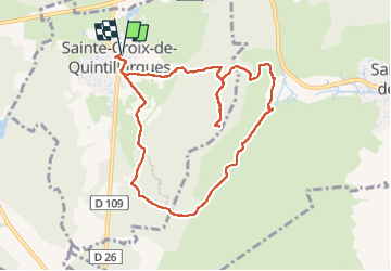

Length
10.1 km

Max alt
320 m

Uphill gradient
287 m
Km-Effort
14 km

Min alt
114 m

Downhill gradient
288 m
Boucle
Yes
Creation date :
2023-02-19 08:34:05.0
Updated on :
2023-02-19 14:19:35.354
5h44
Difficulty : Difficult

FREE GPS app for hiking
 SityTrail
IGN / Geographical institutes
SityTrail Plus
The world is yours!
About
Trail Walking of 10.1 km to be discovered at Occitania, Hérault, Sainte-Croix-de-Quintillargues. This trail is proposed by boudpn.
Description
Facile
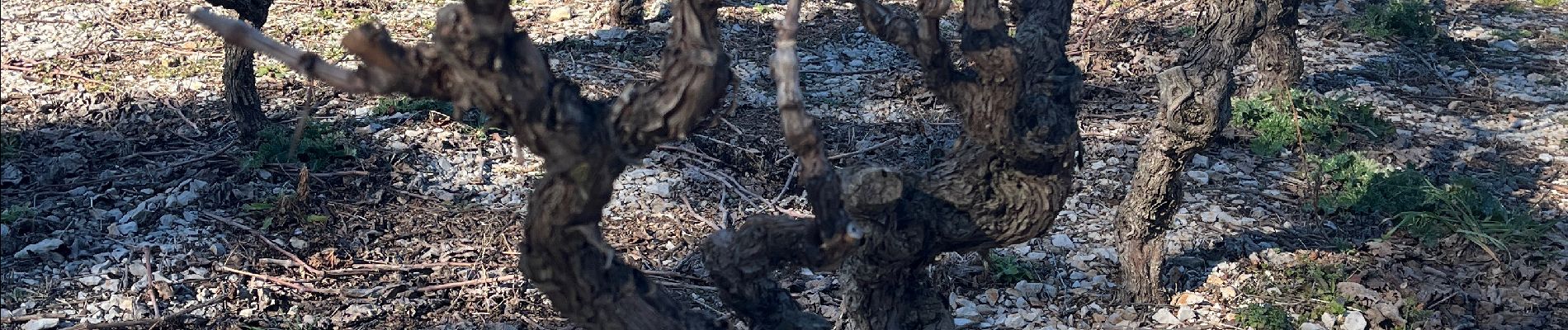
Photos


Positioning
Country:
France
Region :
Occitania
Department/Province :
Hérault
Municipality :
Sainte-Croix-de-Quintillargues
Location:
Unknown
Start:(Dec)
Start:(UTM)
573202 ; 4847101 (31T) N.
Comments