


Mazeres Domaine des Oiseaux

richardsimopons
User
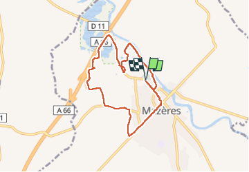

Length
8 km

Max alt
245 m

Uphill gradient
61 m
Km-Effort
8.8 km

Min alt
220 m

Downhill gradient
61 m
Boucle
Yes
Creation date :
2023-02-21 08:15:07.0
Updated on :
2023-02-21 10:31:43.728
2h01
Difficulty : Medium

FREE GPS app for hiking
 SityTrail
IGN / Geographical institutes
SityTrail Plus
The world is yours!
About
Trail Walking of 8 km to be discovered at Occitania, Ariège, Mazères. This trail is proposed by richardsimopons.
Description
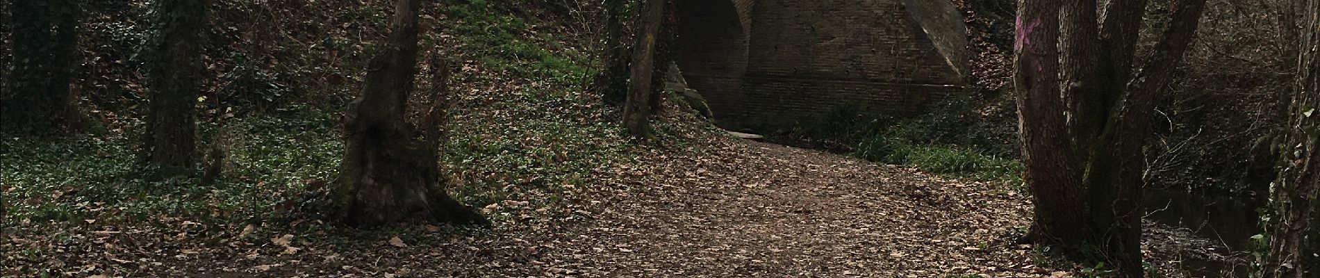
Par l’Hers et le Raunier : parcours court
Photos


Positioning
Country:
France
Region :
Occitania
Department/Province :
Ariège
Municipality :
Mazères
Location:
Unknown
Start:(Dec)
Start:(UTM)
392351 ; 4790071 (31T) N.
Comments