


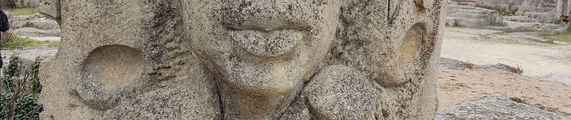
aujargues sommieres carriere de junas

Dan30
User


Length
12.4 km

Max alt
100 m

Uphill gradient
186 m
Km-Effort
14.9 km

Min alt
38 m

Downhill gradient
186 m
Boucle
Yes
Creation date :
2023-02-21 07:57:02.583
Updated on :
2023-02-21 13:25:12.035
3h18
Difficulty : Easy

FREE GPS app for hiking
 SityTrail
IGN / Geographical institutes
SityTrail Plus
The world is yours!
About
Trail Walking of 12.4 km to be discovered at Occitania, Gard, Aujargues. This trail is proposed by Dan30.
Photos


Positioning
Country:
France
Region :
Occitania
Department/Province :
Gard
Municipality :
Aujargues
Location:
Unknown
Start:(Dec)
Start:(UTM)
590435 ; 4848889 (31T) N.
Comments