


Martinus Aalst - Wetteren

Ronalddef
User
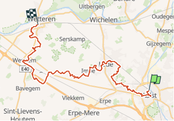

Length
36 km

Max alt
40 m

Uphill gradient
248 m
Km-Effort
39 km

Min alt
3 m

Downhill gradient
247 m
Boucle
No
Creation date :
2023-02-21 06:43:19.316
Updated on :
2023-02-21 14:33:58.368
7h02
Difficulty : Very difficult

FREE GPS app for hiking
 SityTrail
IGN / Geographical institutes
SityTrail Plus
The world is yours!
About
Trail Walking of 36 km to be discovered at Flanders, East Flanders, Aalst. This trail is proposed by Ronalddef.
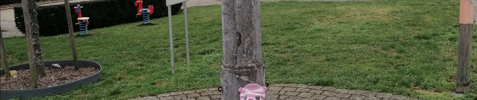
Photos


Positioning
Country:
Belgium
Region :
Flanders
Department/Province :
East Flanders
Municipality :
Aalst
Location:
Aalst
Start:(Dec)
Start:(UTM)
572990 ; 5643990 (31U) N.
Comments