


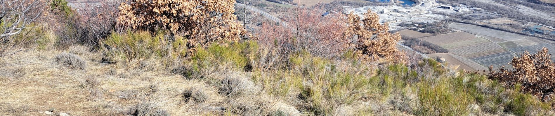
Bergerie de basse et haute Crigne.Rocher de Chantelle.21/02/23

Dervalmarc
User

Length
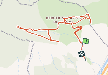
8.5 km

Max alt
1118 m

Uphill gradient
568 m
Km-Effort
16.2 km

Min alt
615 m

Downhill gradient
615 m
Boucle
No
Creation date :
2023-02-21 08:20:02.505
Updated on :
2023-02-21 14:44:49.617
3h59
Difficulty : Medium

FREE GPS app for hiking
 SityTrail
IGN / Geographical institutes
SityTrail Plus
The world is yours!
About
Trail Walking of 8.5 km to be discovered at Provence-Alpes-Côte d'Azur, Hautes-Alpes, Monêtier-Allemont. This trail is proposed by Dervalmarc.
Photos

Positioning
Country:
France
Region :
Provence-Alpes-Côte d'Azur
Department/Province :
Hautes-Alpes
Municipality :
Monêtier-Allemont
Location:
Unknown
Start:(Dec)
Start:(UTM)
733937 ; 4920491 (31T) N.
Comments