


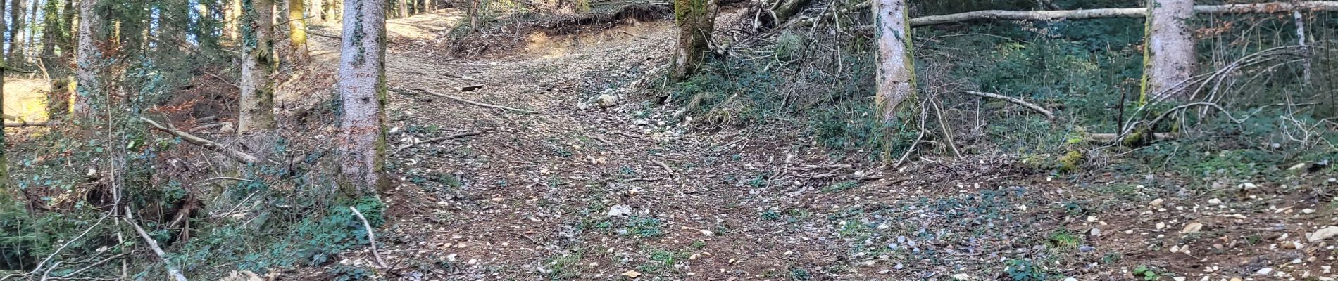
cimetierre vers grospiron

loca.yves
User GUIDE


Length
8.4 km

Max alt
788 m

Uphill gradient
361 m
Km-Effort
13.2 km

Min alt
532 m

Downhill gradient
360 m
Boucle
Yes
Creation date :
2023-02-21 12:02:46.941
Updated on :
2023-02-21 14:46:03.978
2h42
Difficulty : Difficult

FREE GPS app for hiking
 SityTrail
IGN / Geographical institutes
SityTrail Plus
The world is yours!
About
Trail Walking of 8.4 km to be discovered at Auvergne-Rhône-Alpes, Ain, Martignat. This trail is proposed by loca.yves.
Photos


Positioning
Country:
France
Region :
Auvergne-Rhône-Alpes
Department/Province :
Ain
Municipality :
Martignat
Location:
Unknown
Start:(Dec)
Start:(UTM)
701476 ; 5120589 (31T) N.
Comments