


F38 LCV Malleval N2 ANIM RECO

ageo
User


Length
21 km

Max alt
1440 m

Uphill gradient
788 m
Km-Effort
31 km

Min alt
928 m

Downhill gradient
796 m
Boucle
Yes
Creation date :
2014-12-10 00:00:00.0
Updated on :
2014-12-10 00:00:00.0
5h49
Difficulty : Medium

FREE GPS app for hiking
 SityTrail
IGN / Geographical institutes
SityTrail Plus
The world is yours!
About
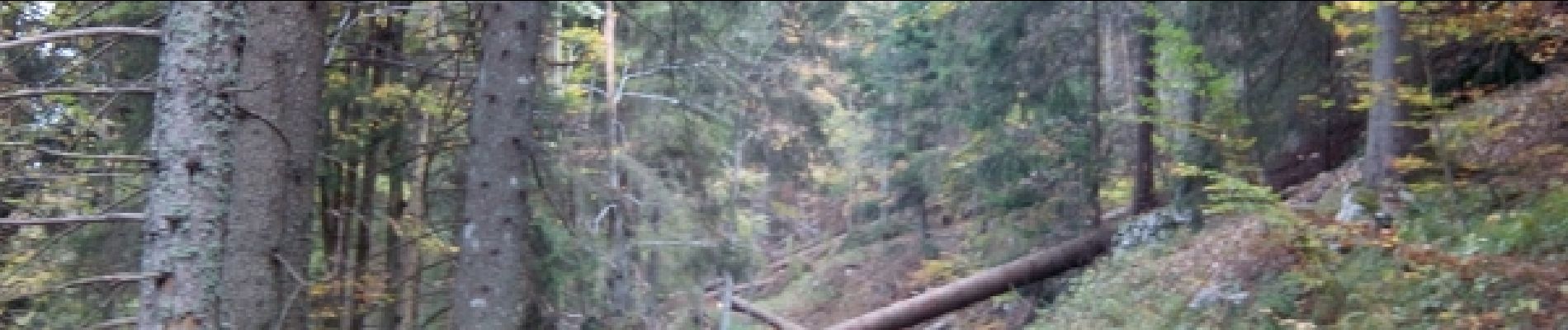
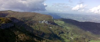
Trail Walking of 21 km to be discovered at Auvergne-Rhône-Alpes, Isère, Malleval-en-Vercors. This trail is proposed by ageo.
Photos


Positioning
Country:
France
Region :
Auvergne-Rhône-Alpes
Department/Province :
Isère
Municipality :
Malleval-en-Vercors
Location:
Unknown
Start:(Dec)
Start:(UTM)
691772 ; 5002278 (31T) N.
Comments