


St Cassien

Renefrt
User
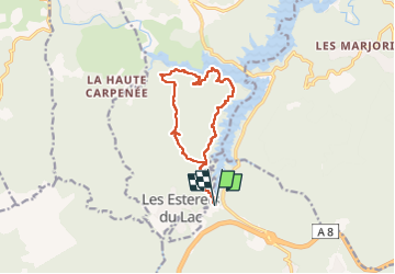

Length
13.1 km

Max alt
346 m

Uphill gradient
318 m
Km-Effort
17.3 km

Min alt
153 m

Downhill gradient
318 m
Boucle
Yes
Creation date :
2023-02-23 08:21:58.636
Updated on :
2023-02-23 14:51:43.263
6h28
Difficulty : Medium

FREE GPS app for hiking
 SityTrail
IGN / Geographical institutes
SityTrail Plus
The world is yours!
About
Trail Walking of 13.1 km to be discovered at Provence-Alpes-Côte d'Azur, Var, Les Adrets-de-l'Estérel. This trail is proposed by Renefrt.
Photos


Positioning
Country:
France
Region :
Provence-Alpes-Côte d'Azur
Department/Province :
Var
Municipality :
Les Adrets-de-l'Estérel
Location:
Unknown
Start:(Dec)
Start:(UTM)
321787 ; 4824508 (32T) N.
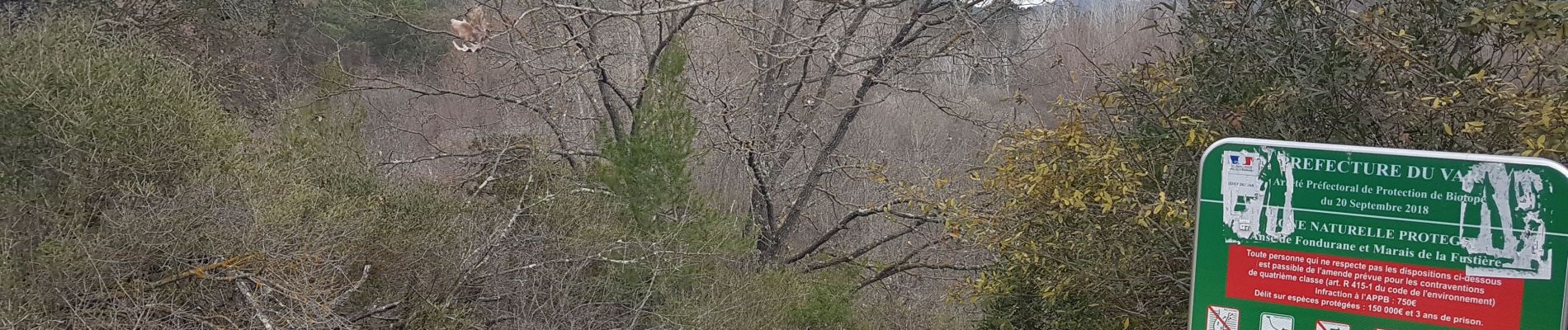
Comments
Chemin derrière la citerne difficile à trouver surtout que le 23/02, un engin faisait sur le sentier une piste coupe feux, piste au demeurant très pentue. Peut-être continuer sur la piste et changer de direction (à gauche) au prochain croisement point 301 sur la carte. Plus long mais moins pentu.