


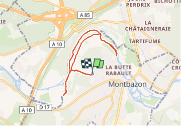

14.2 km | 16 km-effort


User


FREE GPS app for hiking
 SityTrail
IGN / Geographical institutes
SityTrail World
The world is yours!
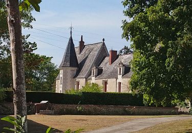
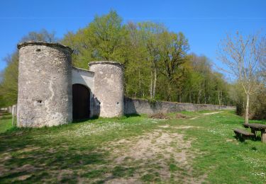
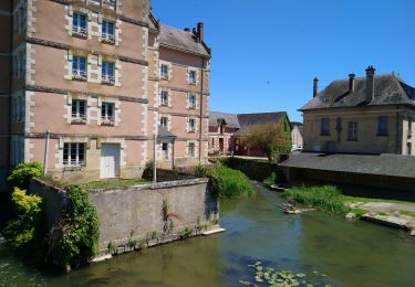
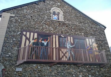
Trail Walking of 7.1 km to be discovered at Centre-Loire Valley, Indre-et-Loire, Montbazon. This trail is proposed by Dalma Chuck.
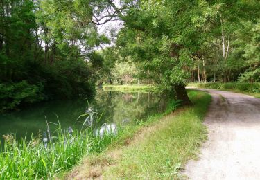
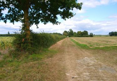
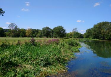
Bords de l'Indre assez sauvage. On peut croiser des chevreuils et des sangliers.
Par temps humide les bâtons peuvent être utiles.


Walking
Walking
Walking
Walking
Walking
Walking
Walking
Walking
Walking