


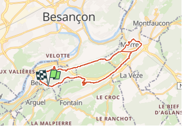

16.8 km | 24 km-effort

User


FREE GPS app for hiking
 SityTrail
IGN / Geographical institutes
SityTrail World
The world is yours!
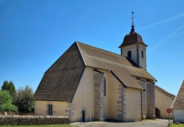
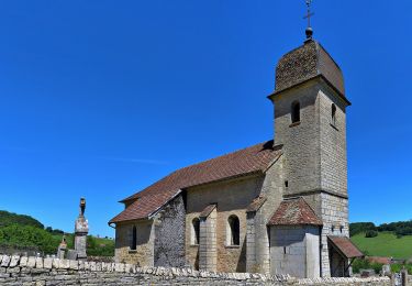
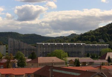
Trail Walking of 15.9 km to be discovered at Bourgogne-Franche-Comté, Doubs, Beure. This trail is proposed by eltonnermou.
Parking arbre de la libération et/ou de la lyre viticole. distance réelle : 15km (impossible de couper le raccourci dans Morre).
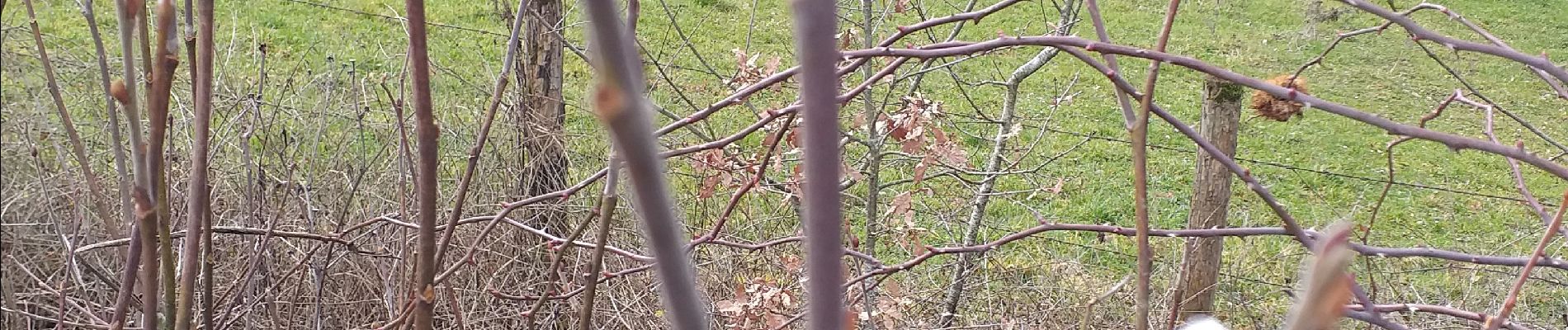
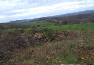
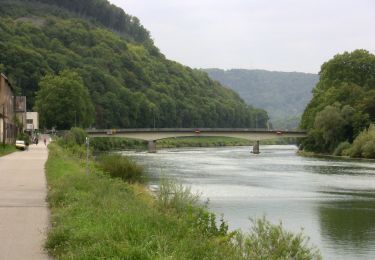
Un beau parcours à travers prairies et bois, de beaux points de vue tout au long du parcours. Le départ est un peu raide et le cheminement au nez de la falaise est parfois "délicat" surtout par temps humide. Par la suite le cheminement dans les "douves" d'un (des) fort de Besançon est sympa. Pendant quelques dizaines de mètres vous longez un mur de pierres sèches.
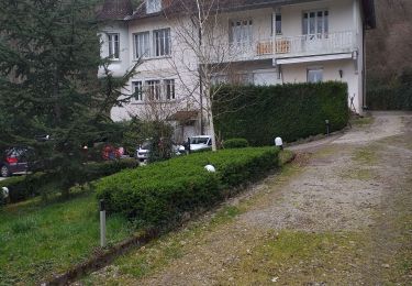
La descente par le chemin de Vignier, sur Morre est délicate (surtout par temps pluvieux), les bâtons sont recommandés.
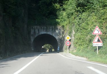
la dernière montée (après avoir quitté la proximité des 4 voies) est encore un peu encombrée d'arbres morts, le premier franchissement est le plus difficile, et ensuite vous rejoignez le chemin le long du mercureau.


Walking
Walking

Walking
On foot
On foot
On foot
On foot
On foot
On foot