


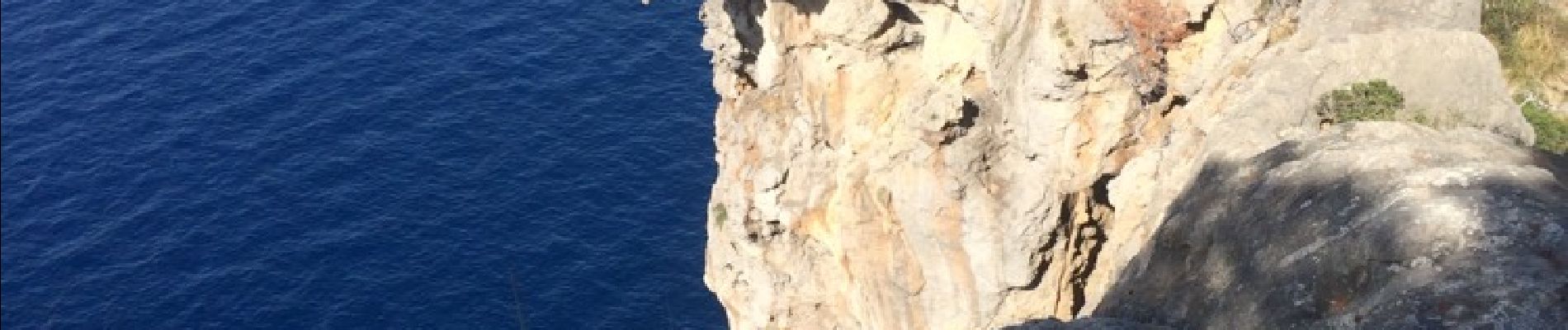
soller-capella de castello-bens d avall-punta de soller-cap gros-port de soller

mapomme
User
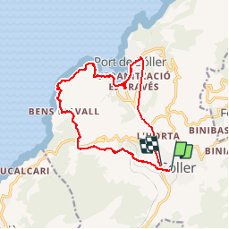

Length
18.5 km

Max alt
254 m

Uphill gradient
541 m
Km-Effort
26 km

Min alt
-1 m

Downhill gradient
544 m
Boucle
No
Creation date :
2014-12-10 00:00:00.0
Updated on :
2014-12-10 00:00:00.0
5h45
Difficulty : Easy

FREE GPS app for hiking
 SityTrail
IGN / Geographical institutes
SityTrail Plus
The world is yours!
About
Trail Walking of 18.5 km to be discovered at Balearic Islands, Unknown, Sóller. This trail is proposed by mapomme.
Description
Belle ballade. 2 eme partie en suivant les cairns. Attention: effacer fin du trajet, j ai oublié d'éteindre le gps dans le bus !
Photos

Positioning
Country:
Spain
Region :
Balearic Islands
Department/Province :
Unknown
Municipality :
Sóller
Location:
Unknown
Start:(Dec)
Start:(UTM)
475337 ; 4401775 (31S) N.
Comments