


Chartreuse de la Verne

mthseeuws
User
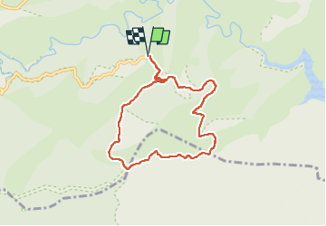

Length
7.8 km

Max alt
544 m

Uphill gradient
182 m
Km-Effort
10.2 km

Min alt
414 m

Downhill gradient
183 m
Boucle
Yes
Creation date :
2023-03-01 10:05:23.879
Updated on :
2023-03-01 13:56:32.727
3h30
Difficulty : Easy

FREE GPS app for hiking
 SityTrail
IGN / Geographical institutes
SityTrail Plus
The world is yours!
About
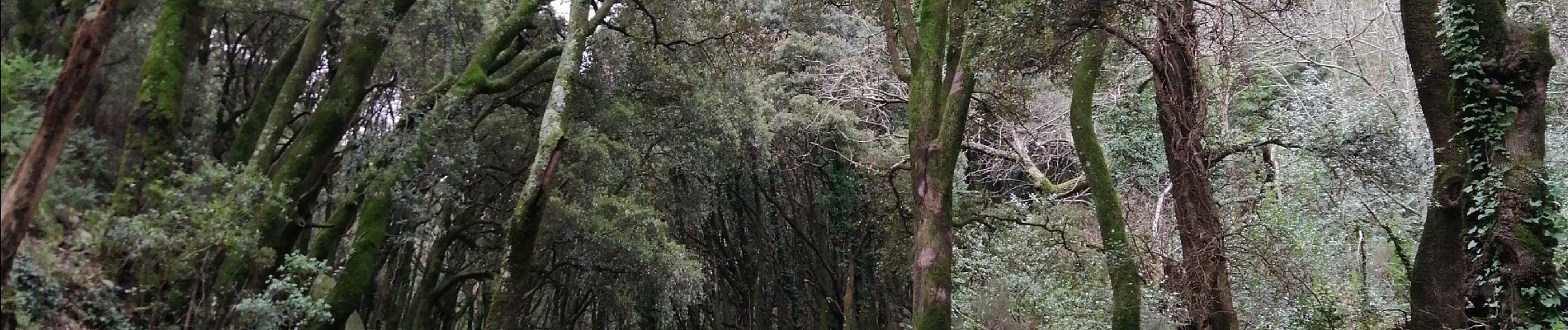
Trail Walking of 7.8 km to be discovered at Provence-Alpes-Côte d'Azur, Var, Collobrières. This trail is proposed by mthseeuws.
Photos


Positioning
Country:
France
Region :
Provence-Alpes-Côte d'Azur
Department/Province :
Var
Municipality :
Collobrières
Location:
Unknown
Start:(Dec)
Start:(UTM)
288602 ; 4790516 (32T) N.
Comments