Trail On foot Roquebrune-sur-Argens - Lac des Clos-Roquebrune/Argens-01-03-23 - Photo

Lac des Clos-Roquebrune/Argens-01-03-23

© OpenStreetMap contributors
Length
Length
16.4 km
Max alt
Max alt
285 m
Uphill gradient
Uphill gradient
416 m
Km-Effort
Km-Effort  
22 km
Min alt
Min alt
15 m
Downhill gradient
Downhill gradient
418 m
Boucle
Boucle
Yes
Creation date :
2023-03-01 08:14:26.115
Updated on :
2023-03-02 16:37:40.668

(0 Reviews)

On foot
On foot
4h59
Difficulty : Medium

Scan this QR Code to open this trail in the SityTrail application

FREE GPS app for hiking

Logo SityTrail SityTrail

IGN / Geographical institutes

Download SityTrail from the App Store Download SityTrail from Google Play

Logo SityTrail SityTrail Plus

The world is yours!

Download SityTrail from the App Store Download SityTrail from Google Play Download SityTrail on Huawei AppGallery

About

Trail On foot of 16.4 km to be discovered at Provence-Alpes-Côte d'Azur, Var, Roquebrune-sur-Argens. This trail is proposed by Christiancordin.

Description

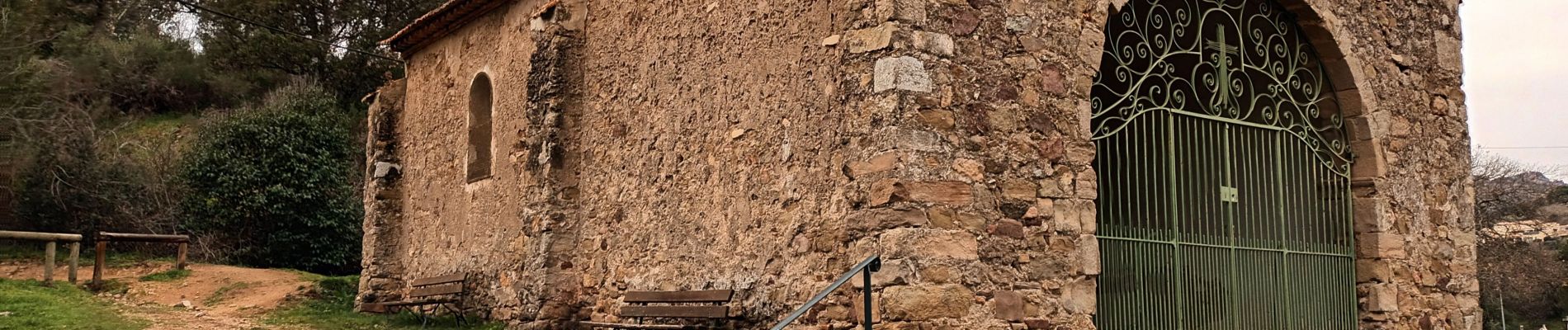
Départ PK vers cimetière-chapelle Ste Anne-vue sur Roquebrune/Argens-les 25 ponts-petite Maurette-point 258 ne pas tourner à gauche mais à droite-lac des Clos-la Charrette-Adrech des Sauves-la Maurette-Roquebrune/Argens

Elevation profile

Photos

Positioning

Country:
France
Region :
Provence-Alpes-Côte d'Azur
Department/Province :
Var
Municipality :
Roquebrune-sur-Argens
Location:
Unknown
Start:(UTM)
308556 ; 4812498 (32T) N.


Close
My subscriptions