


Histoire de fer

MCAREME
User
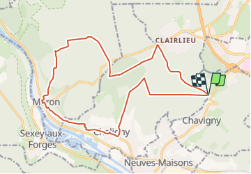

Length
19.3 km

Max alt
418 m

Uphill gradient
388 m
Km-Effort
24 km

Min alt
230 m

Downhill gradient
388 m
Boucle
Yes
Creation date :
2023-03-02 15:44:50.672
Updated on :
2023-08-04 16:09:56.389
5h33
Difficulty : Very difficult

FREE GPS app for hiking
 SityTrail
IGN / Geographical institutes
SityTrail Plus
The world is yours!
About
Trail Walking of 19.3 km to be discovered at Grand Est, Meurthe-et-Moselle, Chavigny. This trail is proposed by MCAREME.
Positioning
Country:
France
Region :
Grand Est
Department/Province :
Meurthe-et-Moselle
Municipality :
Chavigny
Location:
Unknown
Start:(Dec)
Start:(UTM)
288455 ; 5391140 (32U) N.
Comments