


Andrézieux-Bouthéon du 5/03/2023

VANDERPUTTENMi
User GUIDE


Length
10.7 km

Max alt
396 m

Uphill gradient
91 m
Km-Effort
11.9 km

Min alt
351 m

Downhill gradient
91 m
Boucle
Yes
Creation date :
2023-03-05 08:51:06.705
Updated on :
2023-03-05 13:47:33.354
2h15
Difficulty : Medium

FREE GPS app for hiking
 SityTrail
IGN / Geographical institutes
SityTrail Plus
The world is yours!
About
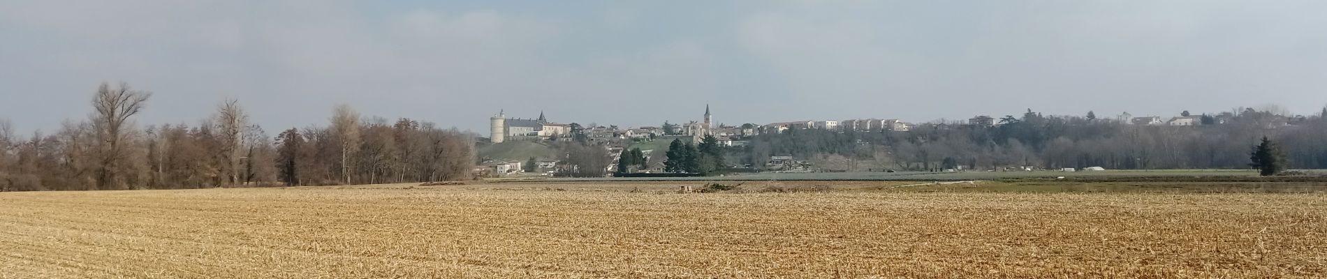
Trail Walking of 10.7 km to be discovered at Auvergne-Rhône-Alpes, Loire, Andrézieux-Bouthéon. This trail is proposed by VANDERPUTTENMi.
Photos

Positioning
Country:
France
Region :
Auvergne-Rhône-Alpes
Department/Province :
Loire
Municipality :
Andrézieux-Bouthéon
Location:
Unknown
Start:(Dec)
Start:(UTM)
600332 ; 5043673 (31T) N.
Comments