


Menotey 6.1 km 20230107

cmike39
User
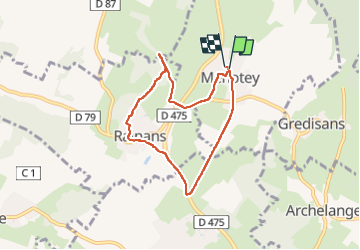

Length
6.4 km

Max alt
317 m

Uphill gradient
126 m
Km-Effort
8 km

Min alt
247 m

Downhill gradient
130 m
Boucle
Yes
Creation date :
2023-03-05 12:35:55.657
Updated on :
2023-03-05 12:35:55.657
1h29
Difficulty : Medium

FREE GPS app for hiking
 SityTrail
IGN / Geographical institutes
SityTrail Plus
The world is yours!
About
Trail Walking of 6.4 km to be discovered at Bourgogne-Franche-Comté, Jura, Menotey. This trail is proposed by cmike39.
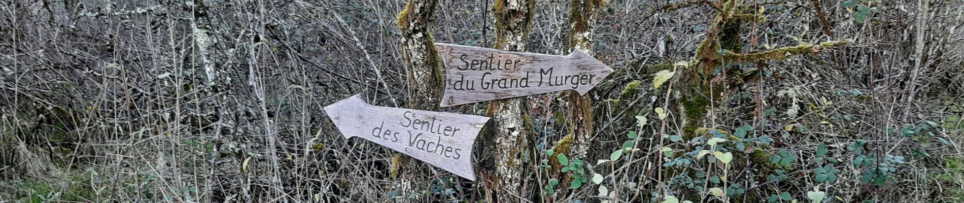
Photos


Positioning
Country:
France
Region :
Bourgogne-Franche-Comté
Department/Province :
Jura
Municipality :
Menotey
Location:
Unknown
Start:(Dec)
Start:(UTM)
689316 ; 5226314 (31T) N.
Comments