


berne reconnaissance

clintest
User
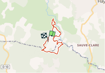

Length
7 km

Max alt
288 m

Uphill gradient
142 m
Km-Effort
8.9 km

Min alt
214 m

Downhill gradient
149 m
Boucle
Yes
Creation date :
2023-03-06 11:27:50.592
Updated on :
2023-03-06 13:35:49.689
2h07
Difficulty : Medium

FREE GPS app for hiking
 SityTrail
IGN / Geographical institutes
SityTrail Plus
The world is yours!
About
Trail Walking of 7 km to be discovered at Provence-Alpes-Côte d'Azur, Var, Flayosc. This trail is proposed by clintest.
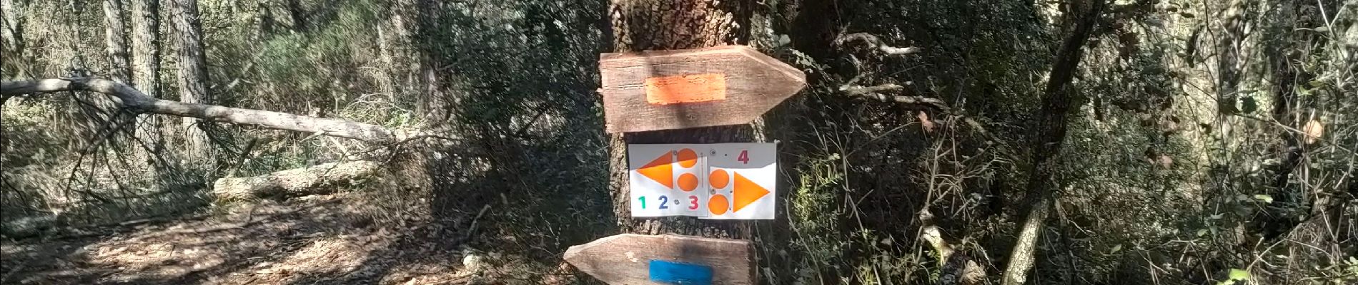
Photos


Positioning
Country:
France
Region :
Provence-Alpes-Côte d'Azur
Department/Province :
Var
Municipality :
Flayosc
Location:
Unknown
Start:(Dec)
Start:(UTM)
287007 ; 4821651 (32T) N.
Comments