


clintest
User
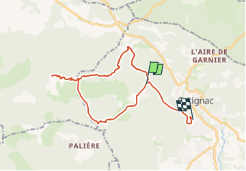

Length
16.3 km

Max alt
802 m

Uphill gradient
520 m
Km-Effort
24 km

Min alt
270 m

Downhill gradient
637 m
Boucle
No
Creation date :
2023-03-06 16:10:23.612
Updated on :
2023-03-06 16:10:23.612

FREE GPS app for hiking
 SityTrail
IGN / Geographical institutes
SityTrail Plus
The world is yours!
About
Trail of 16.3 km to be discovered at Provence-Alpes-Côte d'Azur, Var, Cotignac. This trail is proposed by clintest.
Positioning
Country:
France
Region :
Provence-Alpes-Côte d'Azur
Department/Province :
Var
Municipality :
Cotignac
Location:
Unknown
Start:(Dec)
Start:(UTM)
267723 ; 4824149 (32T) N.
Comments