


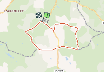
Circuit des Abattais (Fléty)

martinjacque
User

Length
7.1 km

Max alt
386 m

Uphill gradient
153 m
Km-Effort
9.1 km

Min alt
288 m

Downhill gradient
157 m
Boucle
Yes
Creation date :
2014-12-10 00:00:00.0
Updated on :
2014-12-10 00:00:00.0
2h03
Difficulty : Easy

FREE GPS app for hiking
 SityTrail
IGN / Geographical institutes
SityTrail Plus
The world is yours!
About
Trail Walking of 7.1 km to be discovered at Bourgogne-Franche-Comté, Nièvre, Fléty. This trail is proposed by martinjacque.
Description
Chemin à travers la campagne avec beaucoup de sympathiques vaches
Positioning
Country:
France
Region :
Bourgogne-Franche-Comté
Department/Province :
Nièvre
Municipality :
Fléty
Location:
Unknown
Start:(Dec)
Start:(UTM)
568882 ; 5182164 (31T) N.
Comments