


Roche Rousse (Orcieres 2023)

patjobou
User
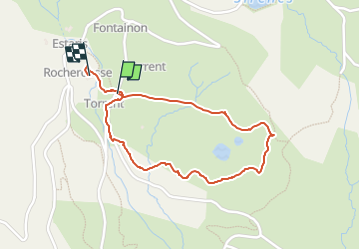

Length
1.9 km

Max alt
2297 m

Uphill gradient
30 m
Km-Effort
2.3 km

Min alt
2262 m

Downhill gradient
29 m
Boucle
Yes
Creation date :
2023-03-02 14:08:58.751
Updated on :
2023-03-12 21:31:49.244
36m
Difficulty : Easy
40m
Difficulty : Easy

FREE GPS app for hiking
 SityTrail
IGN / Geographical institutes
SityTrail Plus
The world is yours!
About
Trail Walking of 1.9 km to be discovered at Provence-Alpes-Côte d'Azur, Hautes-Alpes, Orcières. This trail is proposed by patjobou.
Description
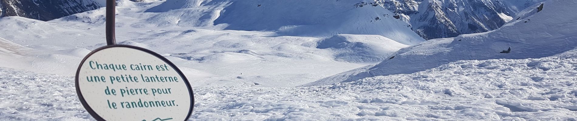
Belle boucle en raquettes, partiellement hors sentier.
Photos
 - Photo 1")
 - Photo 2")
 - Photo 3")
 - Photo 4")
Positioning
Country:
France
Region :
Provence-Alpes-Côte d'Azur
Department/Province :
Hautes-Alpes
Municipality :
Orcières
Location:
Unknown
Start:(Dec)
Start:(UTM)
288918 ; 4954889 (32T) N.
Comments