


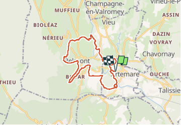

9.2 km | 11.9 km-effort


User


FREE GPS app for hiking
 SityTrail
IGN / Geographical institutes
SityTrail World
The world is yours!
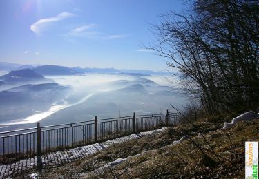
Trail Walking of 15.9 km to be discovered at Auvergne-Rhône-Alpes, Ain, Artemare. This trail is proposed by patpounet73.
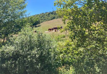
Sortie très agréable. Journée bien chaude pour la période avec une température de 17°C.
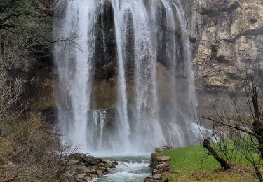
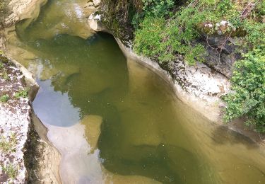
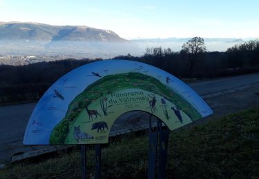
En début de circuit, la boucle par le Fierlos et sa vierge mérite le détour.
Le parcours du Fierlos est commenté par de multiples panneaux et peut être l'objet d'une balade agréable avec des enfants.
Merci à l'Office du Tourisme pour la mise en valeur du site.
https://bugeysud-tourisme.fr/blog/2019/06/07/balade-nature-a-artemare-le-site-du-fierloz/
Walking
Walking

Walking
Walking
Walking
Walking

Walking
Snowshoes
Snowshoes