


Foret de celas

sameja
User
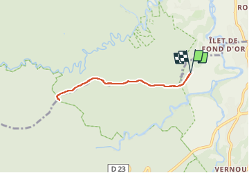

Length
8.3 km

Max alt
343 m

Uphill gradient
226 m
Km-Effort
11.3 km

Min alt
147 m

Downhill gradient
226 m
Boucle
Yes
Creation date :
2023-03-20 11:41:48.0
Updated on :
2023-03-20 13:08:47.766
1h08
Difficulty : Medium

FREE GPS app for hiking
 SityTrail
IGN / Geographical institutes
SityTrail Plus
The world is yours!
About
Trail Trail of 8.3 km to be discovered at Guadeloupe, Unknown, Petit-Bourg. This trail is proposed by sameja.
Description
Grandé monté
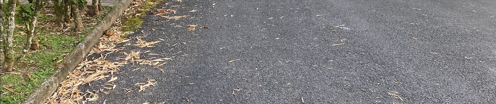
Photos


Positioning
Country:
France
Region :
Guadeloupe
Department/Province :
Unknown
Municipality :
Petit-Bourg
Location:
Unknown
Start:(Dec)
Start:(UTM)
642612 ; 1792011 (20Q) N.
Comments