


GR_34_AC_03_Hirel_Cancale_20230320

patrickdanilo
User
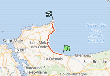

Length
19.7 km

Max alt
42 m

Uphill gradient
260 m
Km-Effort
23 km

Min alt
0 m

Downhill gradient
246 m
Boucle
No
Creation date :
2023-03-20 08:31:55.128
Updated on :
2023-03-22 15:58:42.227
5h39
Difficulty : Easy

FREE GPS app for hiking
 SityTrail
IGN / Geographical institutes
SityTrail Plus
The world is yours!
About
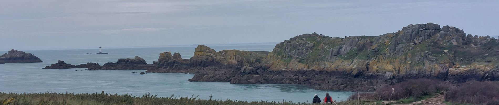
Trail Walking of 19.7 km to be discovered at Brittany, Ille-et-Vilaine, Hirel. This trail is proposed by patrickdanilo.
Photos


34 photos in total. Please click on a photo to see them all in the gallery.
Positioning
Country:
France
Region :
Brittany
Department/Province :
Ille-et-Vilaine
Municipality :
Hirel
Location:
Unknown
Start:(Dec)
Start:(UTM)
588379 ; 5384460 (30U) N.
Comments