


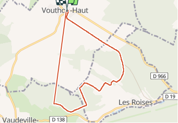

7.7 km | 9.3 km-effort

User


FREE GPS app for hiking
 SityTrail
IGN / Geographical institutes
SityTrail World
The world is yours!
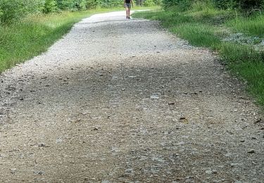
Trail Walking of 7.9 km to be discovered at Grand Est, Meuse, Vouthon-Haut. This trail is proposed by CDSM 55.

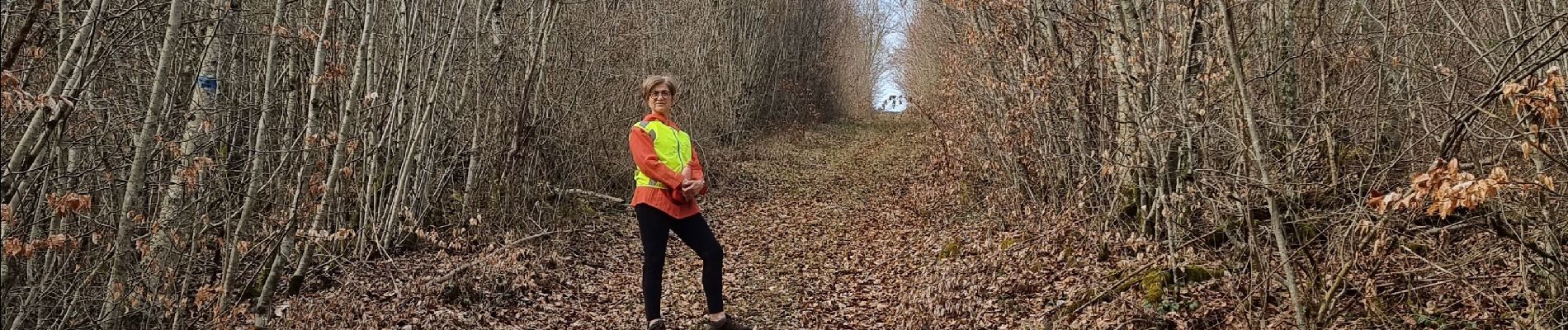
Walking
Walking
Walking
Walking

Walking

Mountain bike
Mountain bike
Road bike

On foot
un chouette toboggan, pas pour tout le monde à VTT