


z l'apié d'amic 21-03-23

cb8310
User


Length
7.4 km

Max alt
102 m

Uphill gradient
139 m
Km-Effort
9.2 km

Min alt
36 m

Downhill gradient
139 m
Boucle
Yes
Creation date :
2023-03-21 12:49:21.028
Updated on :
2023-03-22 06:53:13.666
2h32
Difficulty : Medium

FREE GPS app for hiking
 SityTrail
IGN / Geographical institutes
SityTrail Plus
The world is yours!
About
Trail Walking of 7.4 km to be discovered at Provence-Alpes-Côte d'Azur, Var, Fréjus. This trail is proposed by cb8310.
Description
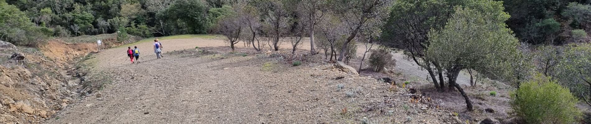
randonnée très vallonnée avec comme bruit de fond l'autoroute
Photos

Positioning
Country:
France
Region :
Provence-Alpes-Côte d'Azur
Department/Province :
Var
Municipality :
Fréjus
Location:
Unknown
Start:(Dec)
Start:(UTM)
318726 ; 4819177 (32T) N.
Comments