


Pointe des 4 cantons de Bairols retour col de l'espella

GrouGary
User


4h43
Difficulty : Difficult

FREE GPS app for hiking
 SityTrail
IGN / Geographical institutes
SityTrail Plus
The world is yours!
About
Trail Walking of 14.7 km to be discovered at Provence-Alpes-Côte d'Azur, Maritime Alps, Bairols. This trail is proposed by GrouGary.
Description
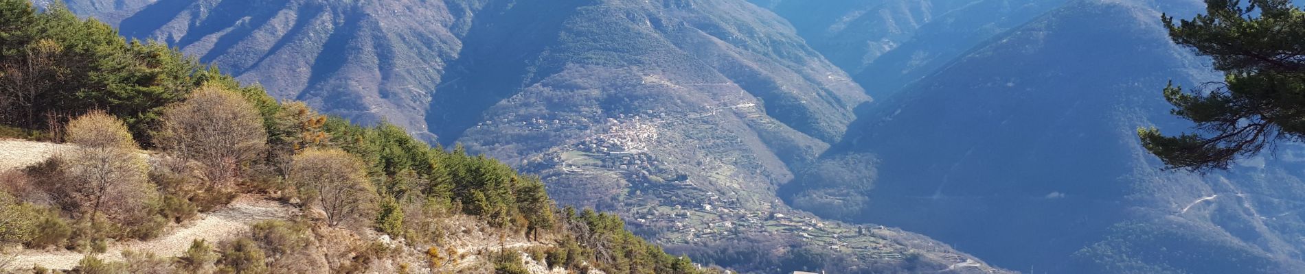
Gros dénivelés (balises 192-191-190 196) pour le trajet de Bairols à la Pointe des 4 cantons, mais sans difficultés techniques. Monter dans le vallon en suivant les cairns sous le rocher de Baume percée.
Retour jusqu'à la balise 196 puis remonter sur une centaine de mètre en empruntant un agréable ancien chemin forestier couvert. Au col de l'Espella (balise 197) continuer vers l'Est dans le descente superbe vers Bairols, traversant d'anciennes restanques.
Bairols est un beau village moyenâgeux.
15 km et 1100
3 gites pour dormir au lieu dit "Lac" (b.194)
Photos


Positioning
Comments