


Puy de Montenard

Papou63patrick
User
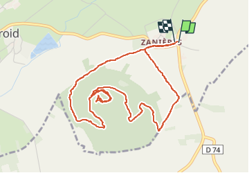

Length
5.8 km

Max alt
1170 m

Uphill gradient
148 m
Km-Effort
7.7 km

Min alt
1032 m

Downhill gradient
149 m
Boucle
Yes
Creation date :
2023-03-22 14:19:53.927
Updated on :
2023-03-22 16:19:18.985
1h36
Difficulty : Easy

FREE GPS app for hiking
 SityTrail
IGN / Geographical institutes
SityTrail Plus
The world is yours!
About
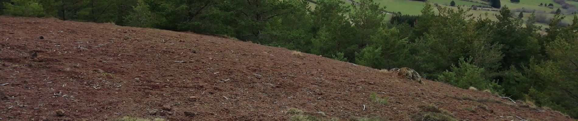
Trail Walking of 5.8 km to be discovered at Auvergne-Rhône-Alpes, Puy-de-Dôme, Saulzet-le-Froid. This trail is proposed by Papou63patrick.
Photos

Positioning
Country:
France
Region :
Auvergne-Rhône-Alpes
Department/Province :
Puy-de-Dôme
Municipality :
Saulzet-le-Froid
Location:
Unknown
Start:(Dec)
Start:(UTM)
495532 ; 5054121 (31T) N.
Comments
Rando très sympa!