


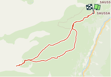
SityTrail - Col du Pourteillou - Gèdre

chasle
User


FREE GPS app for hiking
 SityTrail
IGN / Geographical institutes
SityTrail Plus
The world is yours!
About
Trail of 11.7 km to be discovered at Occitania, Hautespyrenees, Gavarnie-Gèdre. This trail is proposed by chasle.
Description
Circuit raquettes. Départ du Pont de Saugué. La montée finale au col est un peu raide et demande de l'attention. Une fois franchi le col, descendre jusqu'à un belvédère en contrebas pour admirer les vues sur la chaîne et plus spécialement sur le cirque de Gavarnie.
Positioning
Comments