


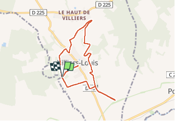

12.1 km | 16.4 km-effort

User


FREE GPS app for hiking
 SityTrail
IGN / Geographical institutes
SityTrail World
The world is yours!
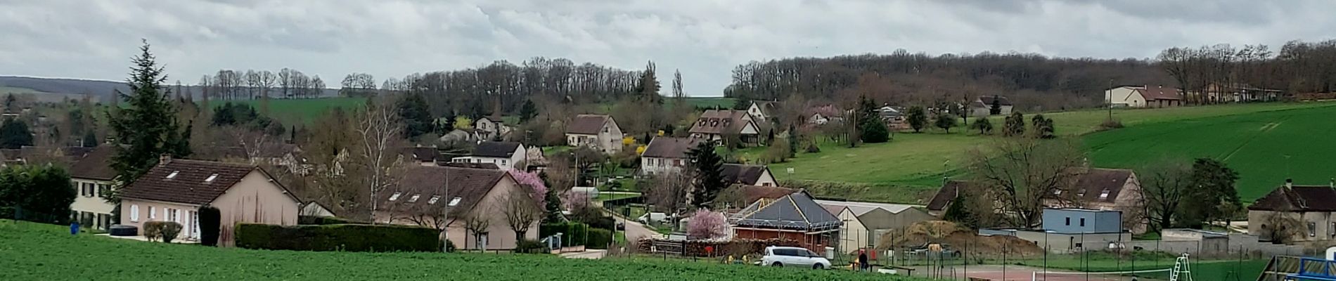
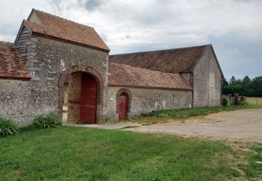
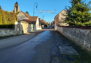
Trail Walking of 8.1 km to be discovered at Bourgogne-Franche-Comté, Yonne, Villiers-Louis. This trail is proposed by Specialized77.
Avec l'Oreuse En Marche


Walking
Walking
Walking
Walking
Walking

Walking

Mountain bike
Walking
Road bike