


Fourdrain du 26/03/2023 du matin

VANDERPUTTENMi
User GUIDE
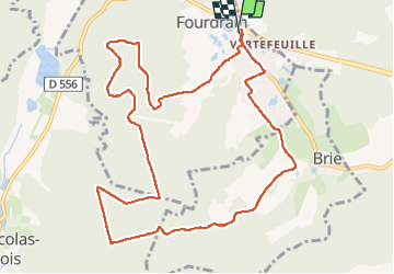

Length
11.6 km

Max alt
196 m

Uphill gradient
202 m
Km-Effort
14.3 km

Min alt
76 m

Downhill gradient
202 m
Boucle
Yes
Creation date :
2023-03-26 07:04:54.194
Updated on :
2023-03-27 11:17:21.878
2h36
Difficulty : Difficult

FREE GPS app for hiking
 SityTrail
IGN / Geographical institutes
SityTrail Plus
The world is yours!
About
Trail Walking of 11.6 km to be discovered at Hauts-de-France, Aisne, Fourdrain. This trail is proposed by VANDERPUTTENMi.
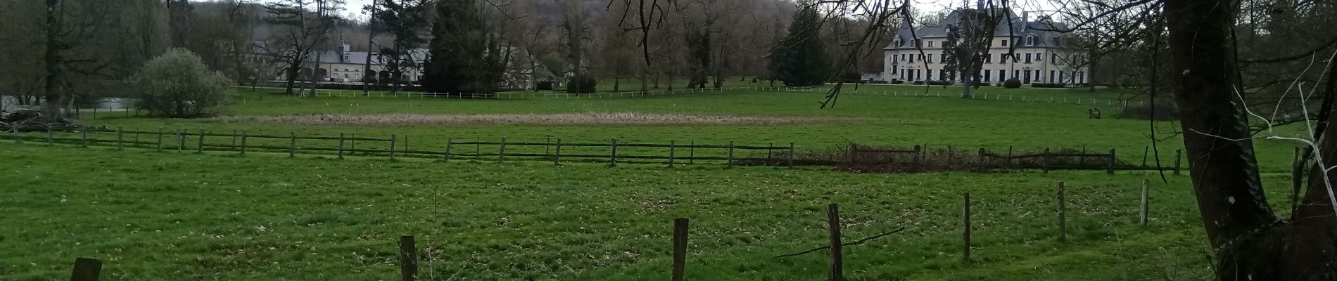
Photos

Positioning
Country:
France
Region :
Hauts-de-France
Department/Province :
Aisne
Municipality :
Fourdrain
Location:
Unknown
Start:(Dec)
Start:(UTM)
533903 ; 5495853 (31U) N.
Comments