


ail des ours source du Bronnenwasset

apa
User
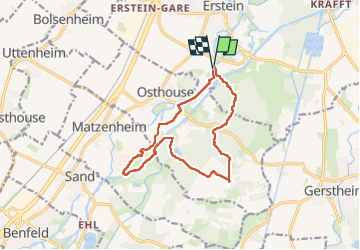

Length
12.5 km

Max alt
161 m

Uphill gradient
63 m
Km-Effort
13.3 km

Min alt
148 m

Downhill gradient
61 m
Boucle
Yes
Creation date :
2023-03-28 07:09:41.883
Updated on :
2023-03-28 15:46:32.862
4h26
Difficulty : Easy

FREE GPS app for hiking
 SityTrail
IGN / Geographical institutes
SityTrail Plus
The world is yours!
About
Trail Walking of 12.5 km to be discovered at Grand Est, Bas-Rhin, Erstein. This trail is proposed by apa.
Description
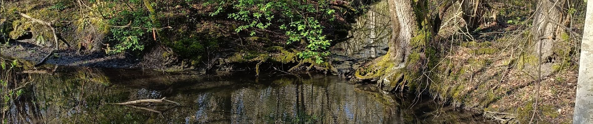
Ballade paisible le long du bronnenwasser
Photos


Positioning
Country:
France
Region :
Grand Est
Department/Province :
Bas-Rhin
Municipality :
Erstein
Location:
Unknown
Start:(Dec)
Start:(UTM)
400811 ; 5362537 (32U) N.
Comments