


Moussy

Fky78
User

Length
8.8 km

Max alt
100 m

Uphill gradient
102 m
Km-Effort
10.2 km

Min alt
56 m

Downhill gradient
105 m
Boucle
Yes
Creation date :
2023-03-28 12:12:16.332
Updated on :
2023-03-28 17:15:31.789
2h18
Difficulty : Medium

FREE GPS app for hiking
 SityTrail
IGN / Geographical institutes
SityTrail Plus
The world is yours!
About
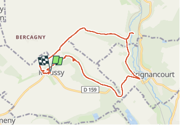
Trail Walking of 8.8 km to be discovered at Ile-de-France, Val-d'Oise, Moussy. This trail is proposed by Fky78.
Description
à découvrir le prieuré et son église à Moussy, le moulin de Noisemont, des sources et anciennes cressonnières
Photos


Positioning
Country:
France
Region :
Ile-de-France
Department/Province :
Val-d'Oise
Municipality :
Moussy
Location:
Unknown
Start:(Dec)
Start:(UTM)
420401 ; 5443366 (31U) N.
Comments