


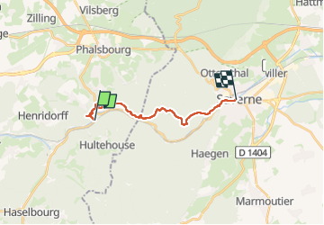
Lutzelbourg - Saverne

claudel
User

Length
13.1 km

Max alt
455 m

Uphill gradient
452 m
Km-Effort
19.2 km

Min alt
188 m

Downhill gradient
482 m
Boucle
No
Creation date :
2023-03-29 11:09:46.598
Updated on :
2023-03-29 14:57:15.884
3h19
Difficulty : Very difficult

FREE GPS app for hiking
 SityTrail
IGN / Geographical institutes
SityTrail Plus
The world is yours!
About
Trail Walking of 13.1 km to be discovered at Grand Est, Moselle, Lutzelbourg. This trail is proposed by claudel.
Positioning
Country:
France
Region :
Grand Est
Department/Province :
Moselle
Municipality :
Lutzelbourg
Location:
Unknown
Start:(Dec)
Start:(UTM)
371469 ; 5399089 (32U) N.
Comments