


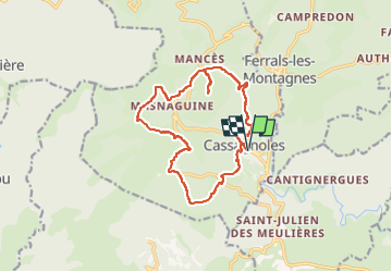


13.8 km | 21 km-effort


User


FREE GPS app for hiking
 SityTrail
IGN / Geographical institutes
SityTrail World
The world is yours!
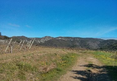
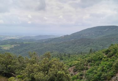
Trail Walking of 15.7 km to be discovered at Occitania, Hérault, Cassagnoles. This trail is proposed by cappelle.
beau circuit avec montée et pique nique au pic de Roquedau

Walking
Walking

On foot
Walking
Walking
Walking
Walking

Walking