


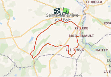

14.8 km | 16.3 km-effort


User


FREE GPS app for hiking
 SityTrail
IGN / Geographical institutes
SityTrail World
The world is yours!
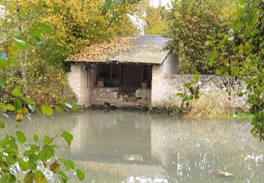
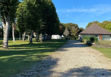
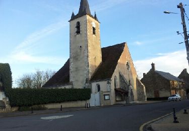
Trail Walking of 15 km to be discovered at Centre-Loire Valley, Loiret, Sainte-Geneviève-des-Bois. This trail is proposed by Ordijamo45.
Randonnée du 2 avril 2023 organisée par la commune
Point départ salle polyvalente
Marcel lespaglon

Walking

Walking
Walking

Walking
Walking
Walking
Walking
Electric bike
Walking