


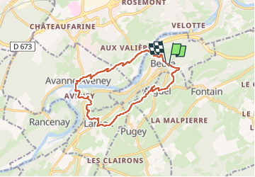

16.8 km | 24 km-effort

User


FREE GPS app for hiking
 SityTrail
IGN / Geographical institutes
SityTrail World
The world is yours!
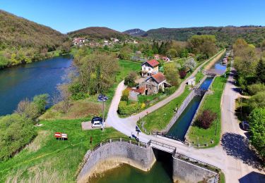
Trail Walking of 14.1 km to be discovered at Bourgogne-Franche-Comté, Doubs, Beure. This trail is proposed by eltonnermou.
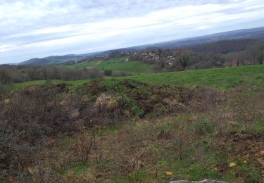
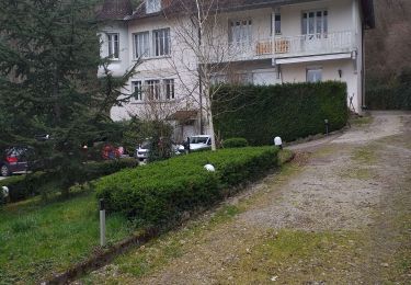
Belle randonnée, ce parcours pédestre vous entrainera de points de vue sur les crêtes en sous bois fleuris. De belles bâtisses dans le village de Larnod. Puis le belvédère au rocher de Valmy vous laissera de belles images. La montée sur le fort de Planoise est un peu engageante bâtons conseillés.
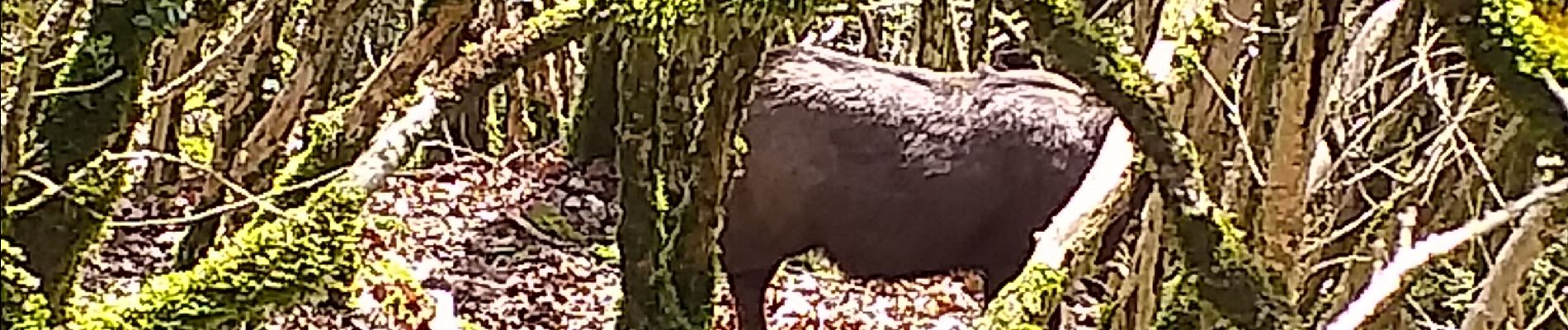
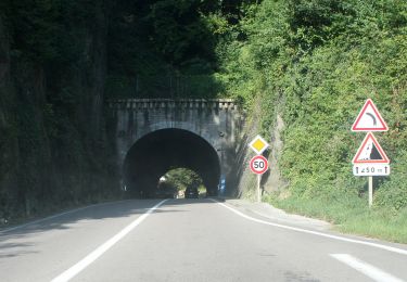
Avec un peu de chance, vous surprendrez des chamois sur les pentes escarpées du secteur. Vous pourrez apprécier la diversité de la flore. Le long du ruisseau "les mercureaux" (les écrevisses ont-elles disparues ? mais d'autres animaux méritent aussi l'observation).


Walking
Walking
On foot
On foot
On foot
On foot
On foot
On foot
On foot