


etangs de villepey et collines

jean-marie.parachini
User


Length
15.9 km

Max alt
80 m

Uphill gradient
147 m
Km-Effort
17.8 km

Min alt
-1 m

Downhill gradient
148 m
Boucle
Yes
Creation date :
2023-04-02 07:07:30.574
Updated on :
2023-04-04 08:49:48.256
5h16
Difficulty : Medium

FREE GPS app for hiking
 SityTrail
IGN / Geographical institutes
SityTrail Plus
The world is yours!
About
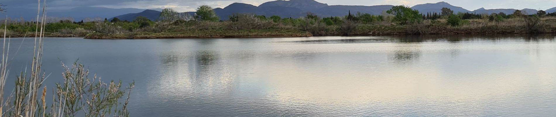
Trail Walking of 15.9 km to be discovered at Provence-Alpes-Côte d'Azur, Var, Fréjus. This trail is proposed by jean-marie.parachini.
Photos


44 photos in total. Please click on a photo to see them all in the gallery.
Positioning
Country:
France
Region :
Provence-Alpes-Côte d'Azur
Department/Province :
Var
Municipality :
Fréjus
Location:
Unknown
Start:(Dec)
Start:(UTM)
314416 ; 4808564 (32T) N.
Comments
chemin etang fermé pour le retour du 15 juin au 15 septembre. du coup galère !