


Tour de la Presqu'île de Giens-05-04-23

Christiancordin
User


5h49
Difficulty : Medium

FREE GPS app for hiking
 SityTrail
IGN / Geographical institutes
SityTrail Plus
The world is yours!
About
Trail Walking of 21 km to be discovered at Provence-Alpes-Côte d'Azur, Var, Hyères. This trail is proposed by Christiancordin.
Description
PK plage de la Badine-plage de la Baume-pointe de la Badine-cap de l'Estérel-pointe du Bouvet-la Tour Fondue-île du petit Ribaud et du Grand Ribaud-port Auguier-la Polynésie-Giens-Port du Niel-plage Darboussières-plage d'Escampo Barriou-pointe des Salis-les Formigues-la Madrague-la Badine.
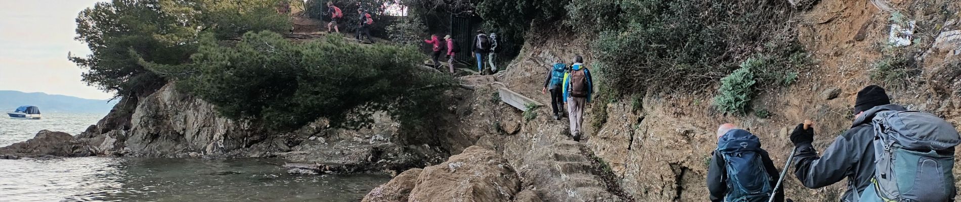
Photos


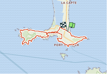
Positioning
Comments