


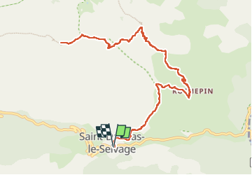

18 km | 45 km-effort

User


FREE GPS app for hiking
 SityTrail
IGN / Geographical institutes
SityTrail World
The world is yours!
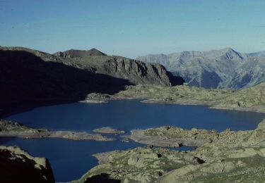
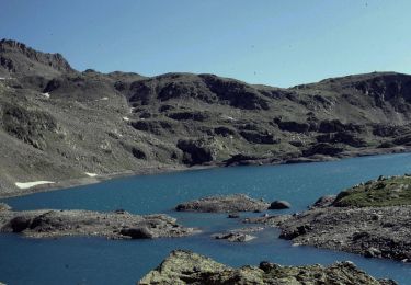
Trail Walking of 14.6 km to be discovered at Provence-Alpes-Côte d'Azur, Maritime Alps, Saint-Dalmas-le-Selvage. This trail is proposed by bozo1970.
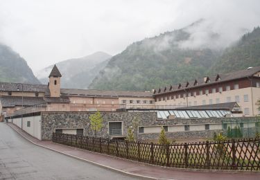
Départ St Dalmas le Selvage
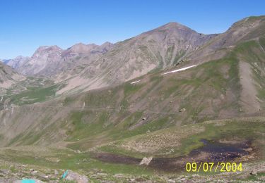
Col de la Colombière en 1h55’, 5km500 et D 800m
Cime de la Blanche en 3h17’, 7km680 et D 1108m
A/R en 5h20’, 15km et D 1150m
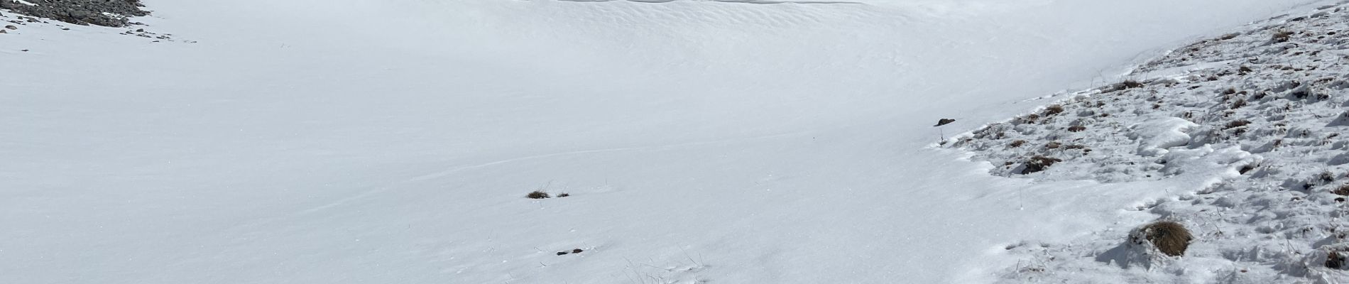
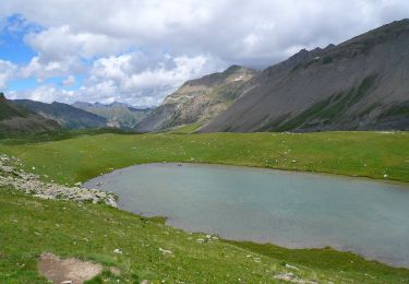
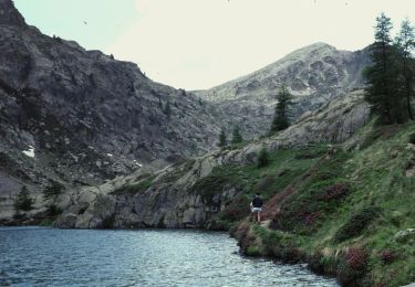
Quelques chamois et marm


Walking
On foot
On foot
On foot
On foot
On foot
On foot
On foot
On foot