


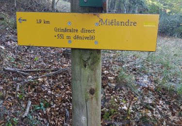
8.6 km | 18.1 km-effort

User


FREE GPS app for hiking
 SityTrail
IGN / Geographical institutes
SityTrail World
The world is yours!
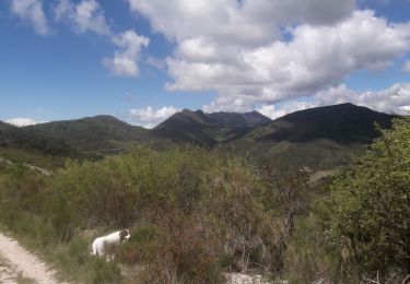
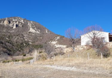
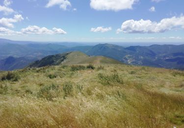
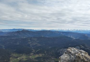
Trail Walking of 12.3 km to be discovered at Auvergne-Rhône-Alpes, Drôme, Bouvières. This trail is proposed by bymarc26.
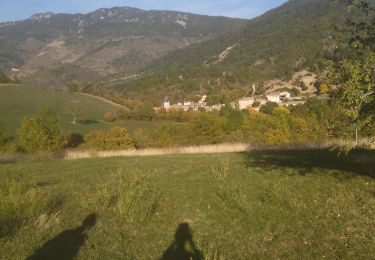
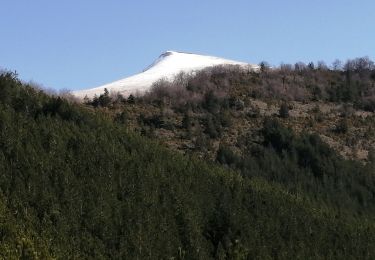
fait le 6 avril avant que les moutons ne montent.
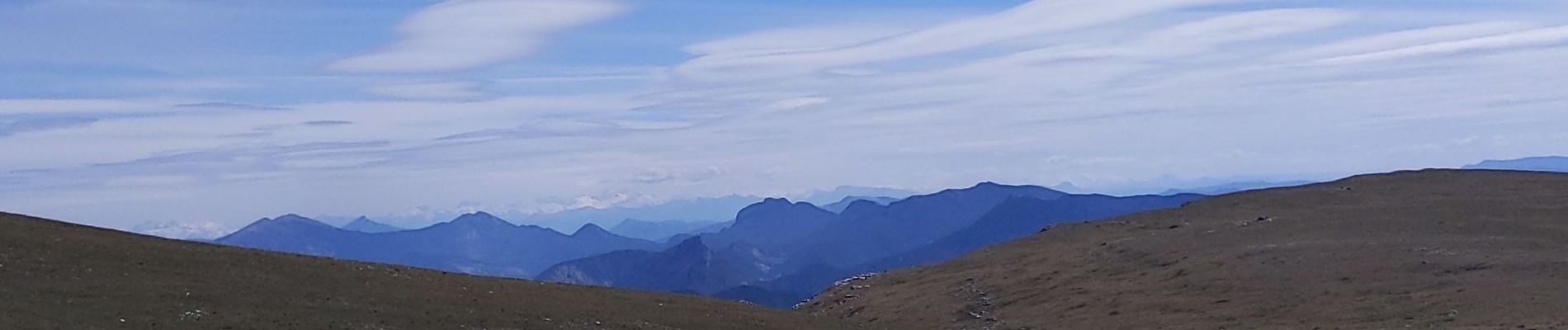
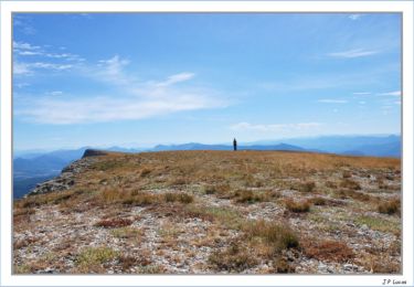
Rester sur le Merlu sans parcourir la Montagne d'Angèle


Walking
Walking
Walking
Walking

Walking
Walking
Walking
Walking
Walking