Trail Walking Mesquer - Tour de Quimiac - Photo
© OpenStreetMap contributors
Length
Length
14.3 km
Max alt
Max alt
24 m
Uphill gradient
Uphill gradient
96 m
Km-Effort
Km-Effort  
15.6 km
Min alt
Min alt
0 m
Downhill gradient
Downhill gradient
94 m
Boucle
Boucle
Yes
Creation date :
2014-12-10 00:00:00.0
Updated on :
2014-12-10 00:00:00.0

(0 Reviews)

Walking
Walking
3h27
Difficulty : Easy

Scan this QR Code to open this trail in the SityTrail application

FREE GPS app for hiking

Logo SityTrail SityTrail

IGN / Geographical institutes

Download SityTrail from the App Store Download SityTrail from Google Play

Logo SityTrail SityTrail Plus

The world is yours!

Download SityTrail from the App Store Download SityTrail from Google Play Download SityTrail on Huawei AppGallery

About

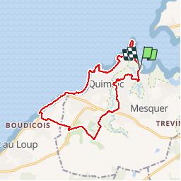
Trail Walking of 14.3 km to be discovered at Pays de la Loire, Loire-Atlantique, Mesquer. This trail is proposed by gmarboeuf.

Description

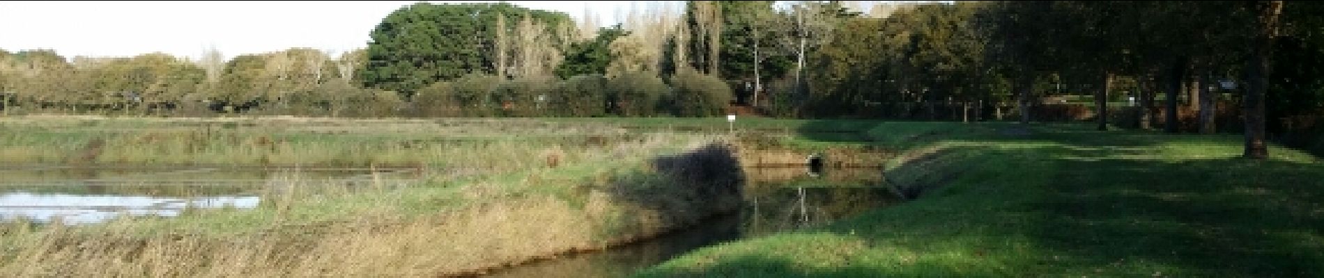
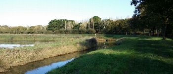
Partant du port de Kerballec, cette randonnée passe par les marais où l'on peut observer des oiseaux. Pendant ou après la pluie, cette partie se révèle glissante et boueuse.
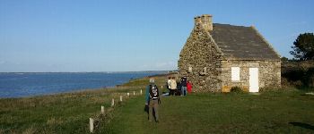
La partie sud du circuit se fait le long de petites routes, jusqu'à rejoindre la côte. Le chemin côtier permet de rejoindre la Pointe de Beaulieu sans difficulté. La suite du trajet se fera en bordure de côte, notamment sur la plage si la marée est basse, sinon il est nécessaire d'emprunter des routes intérieures.
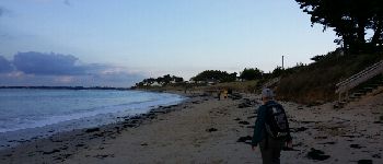
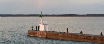
Elevation profile

Photos

Points of interest

Point of interest Mesquer - Marais - Photo
gmarboeuf
MESQUER 
Point of interest Piriac-sur-Mer - Chemin côtier - Photo
gmarboeuf
PIRIAC-SUR-MER 
Point of interest Mesquer - La plage - Photo
gmarboeuf
MESQUER 
Point of interest Mesquer - Phare de Merquel - Photo
gmarboeuf
Point of interest Mesquer - Depuis le phare de Merquel - Photo
gmarboeuf

Positioning

Country:
France
Region :
Pays de la Loire
Department/Province :
Loire-Atlantique
Municipality :
Mesquer
Location:
Unknown
Start:(UTM)
540436 ; 5251059 (30T) N.


Close
My subscriptions