


Saint Ambroix

Roger Philippe Wallez
User GUIDE
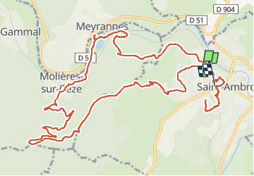

Length
16.7 km

Max alt
424 m

Uphill gradient
565 m
Km-Effort
24 km

Min alt
141 m

Downhill gradient
570 m
Boucle
No
Creation date :
2023-04-09 07:50:20.0
Updated on :
2023-04-09 14:17:42.309
6h26
Difficulty : Very difficult

FREE GPS app for hiking
 SityTrail
IGN / Geographical institutes
SityTrail Plus
The world is yours!
About
Trail Walking of 16.7 km to be discovered at Occitania, Gard, Saint-Ambroix. This trail is proposed by Roger Philippe Wallez.
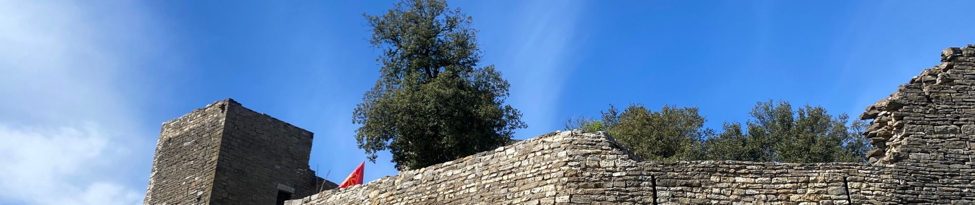
Photos

Positioning
Country:
France
Region :
Occitania
Department/Province :
Gard
Municipality :
Saint-Ambroix
Location:
Unknown
Start:(Dec)
Start:(UTM)
595201 ; 4901713 (31T) N.
Comments