


Trek GR400 Cantal

GioA10
User
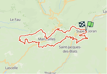

Length
50 km

Max alt
1585 m

Uphill gradient
2339 m
Km-Effort
81 km

Min alt
883 m

Downhill gradient
2340 m
Boucle
Yes
Creation date :
2023-04-07 10:10:16.0
Updated on :
2023-04-10 08:00:07.695
21h58
Difficulty : Difficult

FREE GPS app for hiking
 SityTrail
IGN / Geographical institutes
SityTrail Plus
The world is yours!
About
Trail Walking of 50 km to be discovered at Auvergne-Rhône-Alpes, Cantal, Laveissière. This trail is proposed by GioA10.
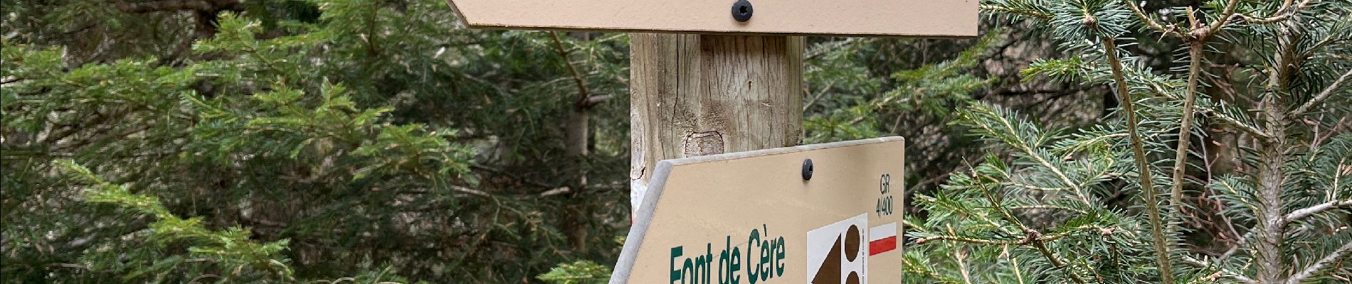
Photos


51 photos in total. Please click on a photo to see them all in the gallery.
Positioning
Country:
France
Region :
Auvergne-Rhône-Alpes
Department/Province :
Cantal
Municipality :
Laveissière
Location:
Unknown
Start:(Dec)
Start:(UTM)
480214 ; 4992209 (31T) N.
Comments