


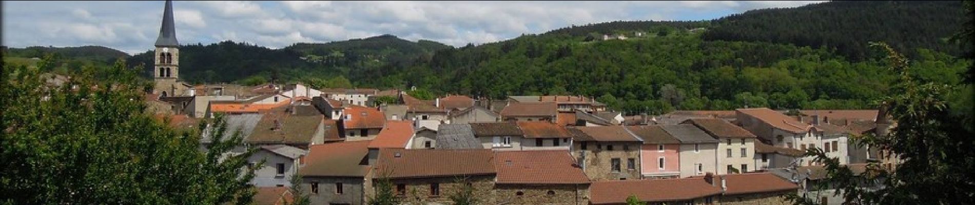
Sauxillanges_Sites_Clunisiens

jagarnier
User GUIDE
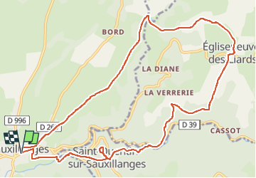


3h45
Difficulty : Medium

FREE GPS app for hiking
 SityTrail
IGN / Geographical institutes
SityTrail Plus
The world is yours!
About
Trail Walking of 12.7 km to be discovered at Auvergne-Rhône-Alpes, Puy-de-Dôme, Sauxillanges. This trail is proposed by jagarnier.
Description
Vous pourrez admirer deux sites clunisiens : Sauxillanges avec son musée, son cloître, ses remparts, etc ... et Saint-Quentin-sur Sauxillanges avec son église atypique et sa table d'orientation d'où vous aurez une très belle vue sur Sauxillanges en contrebas, la plaine et la chaîne des Puys.
Photos

Positioning
Comments