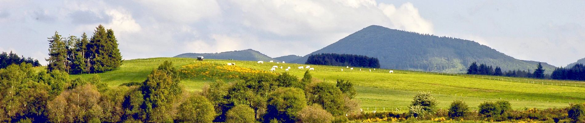
Pulverieres_Etang_Grand

jagarnier
User GUIDE
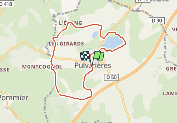

Length
8 km

Max alt
861 m

Uphill gradient
144 m
Km-Effort
9.9 km

Min alt
796 m

Downhill gradient
139 m
Boucle
Yes
Creation date :
2023-04-10 14:10:08.012
Updated on :
2024-10-25 07:26:12.227
2h30
Difficulty : Easy

FREE GPS app for hiking
 SityTrail
IGN / Geographical institutes
SityTrail Plus
The world is yours!
About
Trail Walking of 8 km to be discovered at Auvergne-Rhône-Alpes, Puy-de-Dôme, Pulvérières. This trail is proposed by jagarnier.
Photos

Positioning
Country:
France
Region :
Auvergne-Rhône-Alpes
Department/Province :
Puy-de-Dôme
Municipality :
Pulvérières
Location:
Unknown
Start:(Dec)
Start:(UTM)
493008 ; 5081396 (31T) N.
Comments