


ND de Pitié - Les 25 ponts

LEDUNC
User

Length
11.9 km

Max alt
259 m

Uphill gradient
346 m
Km-Effort
16.6 km

Min alt
22 m

Downhill gradient
377 m
Boucle
No
Creation date :
2023-04-11 12:05:32.28
Updated on :
2023-04-13 10:24:59.533
3h24
Difficulty : Medium

FREE GPS app for hiking
 SityTrail
IGN / Geographical institutes
SityTrail Plus
The world is yours!
About
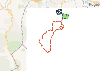
Trail Walking of 11.9 km to be discovered at Provence-Alpes-Côte d'Azur, Var, Roquebrune-sur-Argens. This trail is proposed by LEDUNC.
Description
Au départ du parking du cimetière de 83 Roquebrune s/Argens,
Chapelle ND Pitié, les 25 ponts, belle rando dans le massif, pour les randonneurs moyens, 2/3 montées intéressantes.
Positioning
Country:
France
Region :
Provence-Alpes-Côte d'Azur
Department/Province :
Var
Municipality :
Roquebrune-sur-Argens
Location:
Unknown
Start:(Dec)
Start:(UTM)
308503 ; 4812369 (32T) N.
Comments