


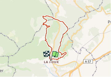
Pilon St Clément par Cuers

Yot
User

Length
15 km

Max alt
698 m

Uphill gradient
675 m
Km-Effort
24 km

Min alt
186 m

Downhill gradient
677 m
Boucle
Yes
Creation date :
2023-04-13 06:55:21.77
Updated on :
2023-04-13 13:51:13.2
6h08
Difficulty : Easy

FREE GPS app for hiking
 SityTrail
IGN / Geographical institutes
SityTrail Plus
The world is yours!
About
Trail Walking of 15 km to be discovered at Provence-Alpes-Côte d'Azur, Var, Cuers. This trail is proposed by Yot.
Photos

Positioning
Country:
France
Region :
Provence-Alpes-Côte d'Azur
Department/Province :
Var
Municipality :
Cuers
Location:
Unknown
Start:(Dec)
Start:(UTM)
261673 ; 4793090 (32T) N.
Comments